Digital Terrain Model (DTM)
A Digital Terrain Model (DTM) is a 3D representation of a terrain's surface, in which vegetation, buildings, and other objects are not visible. It provides accurate elevation data, capturing the natural landscape's contours and features. DTMs are crucial for a variety of applications, including urban planning and disaster response. By offering precise topographical information, DTMs enable effective analysis of the ground, watershed modeling, and infrastructure development.
Creating a Digital Terrain Model (DTM) of Schiermonnikoog is particularly intriguing due to the island's unique and dynamic landscape. As one of the Wadden Sea islands, Schiermonnikoog features diverse topographical elements such as dunes, tidal flats, and salt marshes, which are subject to continuous natural processes like erosion and sediment deposition. Mapping these elevation changes provides interesting insights into coastal dynamics and the impacts of sea level rise. A DTM can also aid in environmental conservation efforts, land use planning, and enhancing the island's accessibility. The island's blend of natural beauty and environmental significance makes it an ideal subject for an in-depth topographical study using REM techniques.
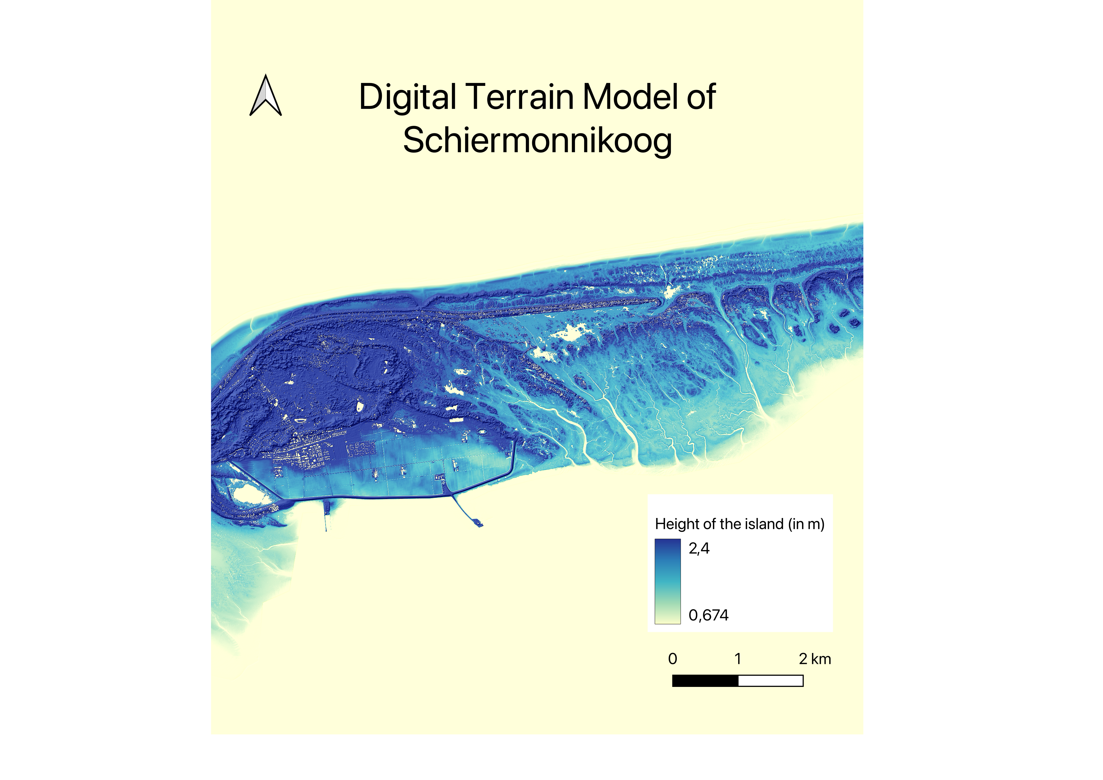
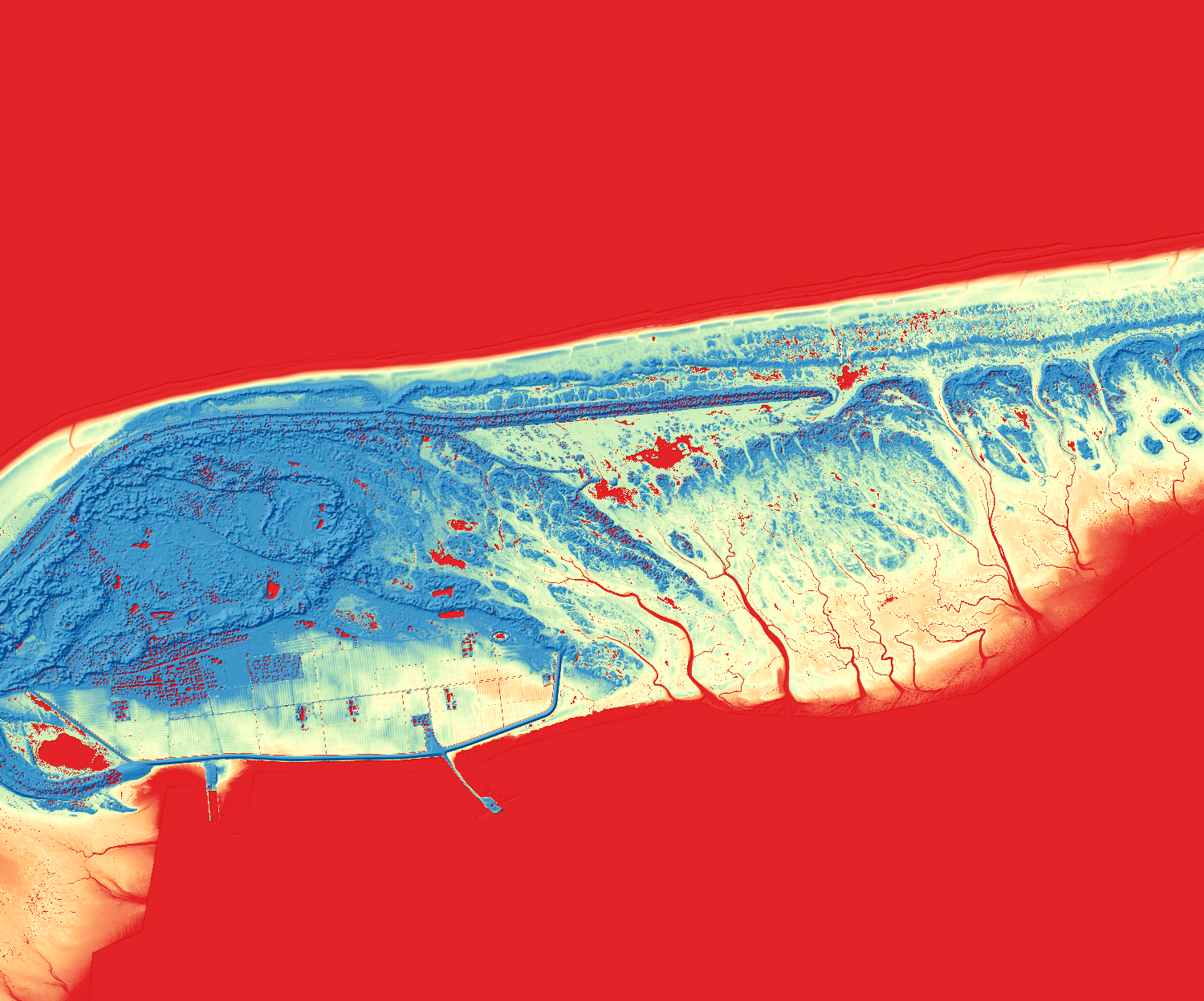
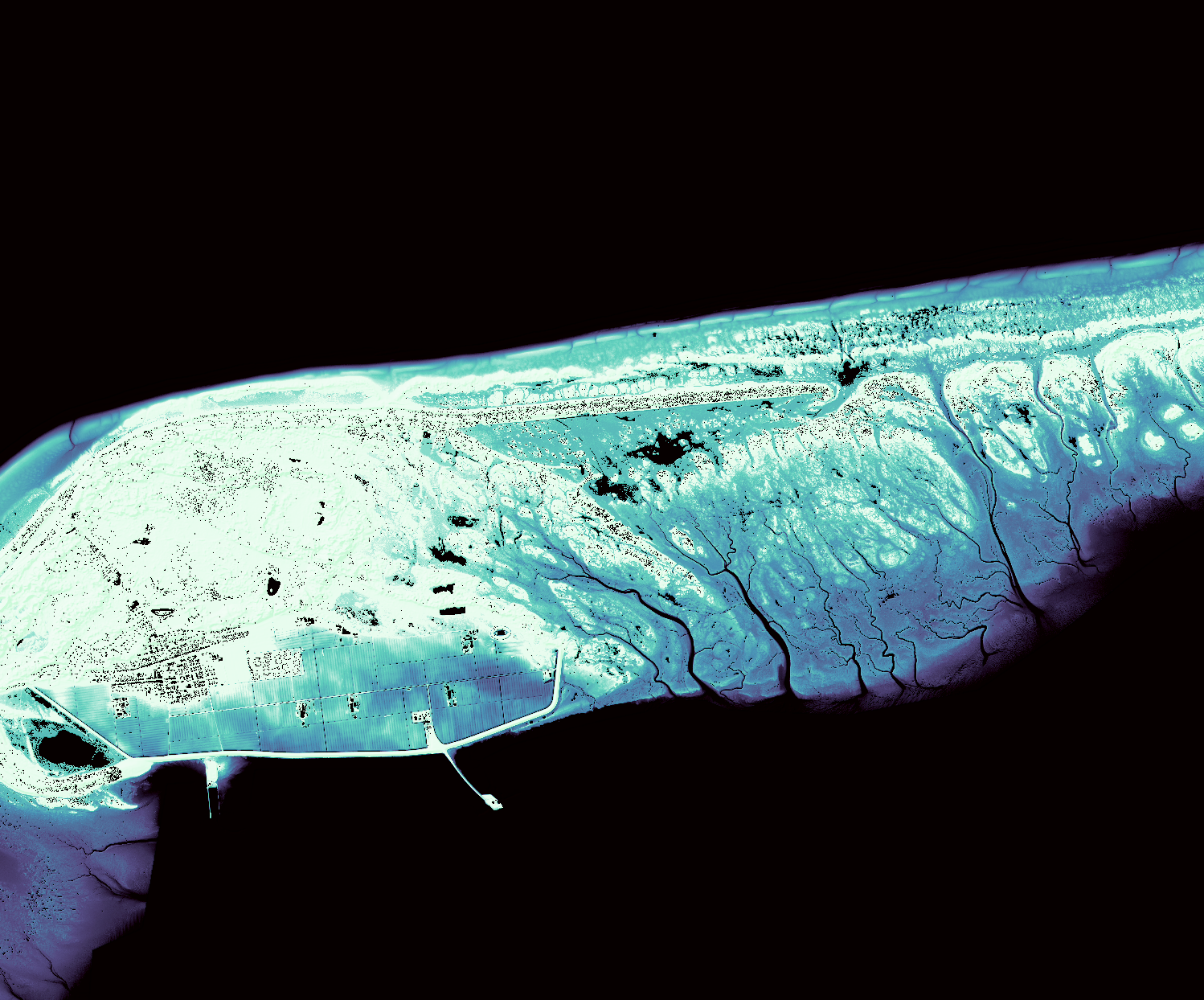
This Digital Terrain Model of Schiermonnikoog is one of the favourite projects I did. The high-resolution output distinctly highlights the island's elevation variations. In the western part of the map, areas of increased human activity, such as towns and infrastructure, are clearly visible. Conversely, the southeastern region reveals networks of rivers connecting the land to the sea. I chose this color scheme, transitioning from yellow at sea level to dark blue at higher elevations, for its intuitive clarity and aesthetic appearance. This gradient effectively conveys elevation differences, making the map both visually engaging and easy to interpret. Given Schiermonnikoog's proximity to sea level and its surrounding marine environment, blue was a naturally fitting choice, enhancing the map's readability and relevance.
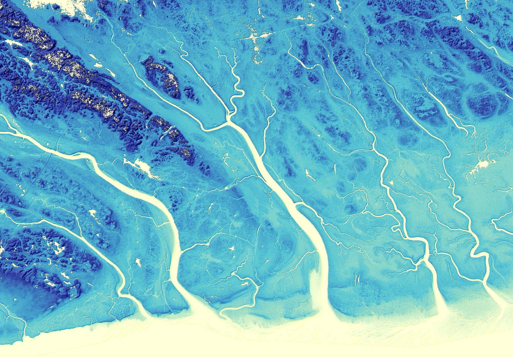
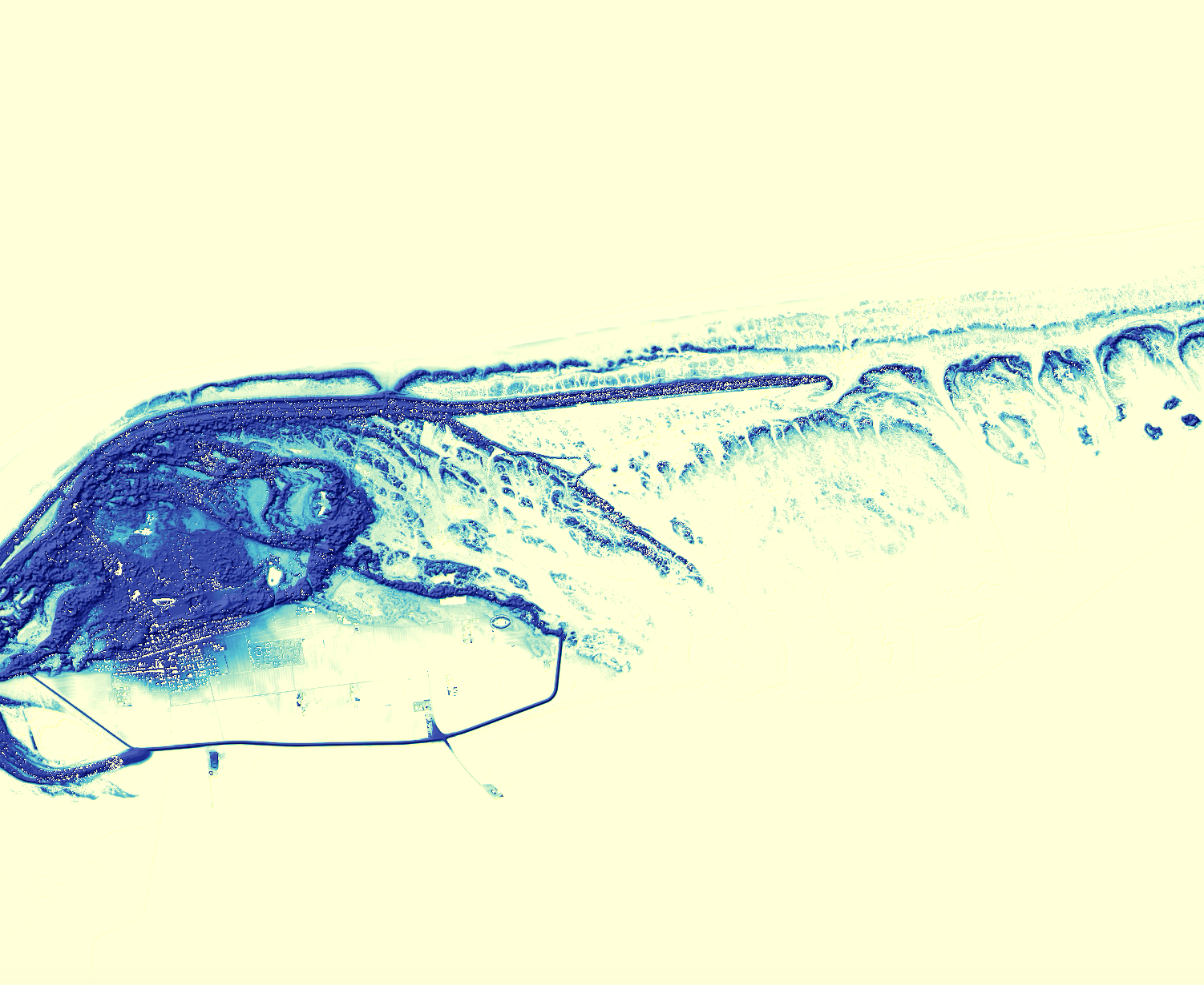
Snapshot of the DTM; southeastern part highlighting the complex networks of rivers
For this project, we had to delve into band map and raster calculations, which involve modifying data layers by subtracting them to reveal critical spatial information. Crucially, I learned that the way in which you modify polygons directly influences the final appearance and accuracy of our maps. I really enjoyed doing this project, as it made me realise that map-making is not just a science but also an art, requiring careful consideration of how you wish to present your data for the most effective and aesthetically pleasing results.
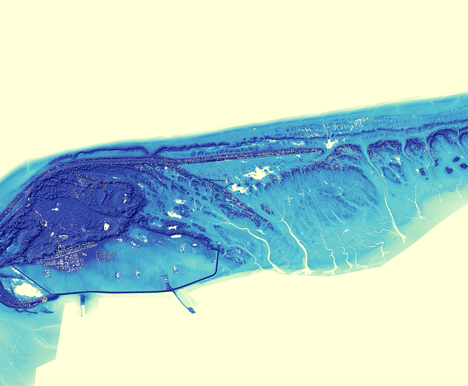
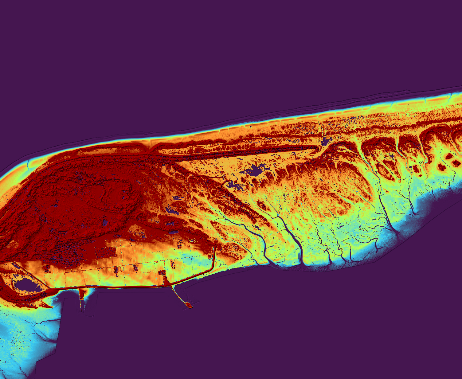
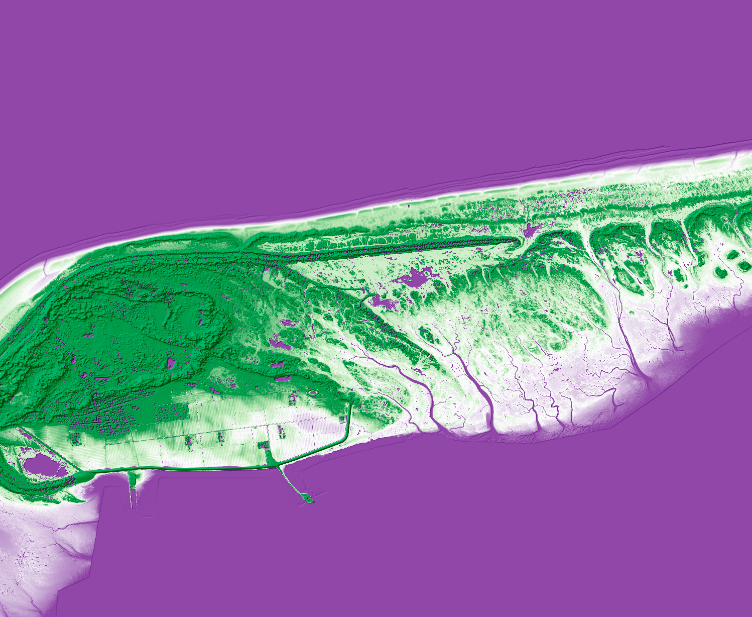
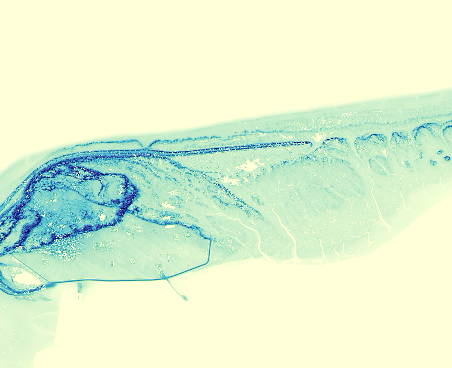
To find the most suitable color scheme for this DTM, I experimented with different elevation classifications and color schemes. The following pictures show this process.
If you would like to read more about Schiermonnikoog's dynamic landscape, increasing sea level and drought, check out this website! (in Dutch)
- © Cartography
- Design: HTML5 UP