Satellite Imagery Mapping
Carbon sequestration in Utrecht
Satellite imagery mapping is a widely-used technique that uses satellite data to create detailed maps of the Earth's surface. This method is highly relevant for monitoring environmental changes, managing natural resources, and understanding geographical patterns. In the context of carbon sequestration, satellite imagery helps us measure and analyse carbon storage and fluxes in ecosystems. Two definitions are important to understand this concept. ACD, or Aboveground Carbon Density, indicates the amount of carbon stored in vegetation per hectare, measured in tonnes. GPP, or Gross Primary Productivity, represents the rate at which plants convert atmospheric carbon dioxide into biomass through photosynthesis, measured in tonnes per hectare per year. These metrics are crucial for assessing the role of vegetation in carbon sequestration, which is vital for mitigating climate change.
I really enjoyed this project due to my interest in Utrecht and a desire to understand the importance of vegetation on the Utrechtse Heuvelrug. By analysing ACD and GPP, I could compare the carbon dynamics of the Utrechtse Heuvelrug with those of the entire province of Utrecht. The map I created, as shown above, highlights these differences, offering insights into the region's ecological health and its role in carbon sequestration. The dark red above the Utrechtse Heuvelrug, indicating high levels of GPP, reflects the importance of the nature there and underscores the necessity of conserving this National Park.
This project was not an easy assignment; it required us to learn how to modify code in Google Earth Engine (GEE), a powerful platform for processing satellite data. Thanks to a really interesting lecture given by UCU Alumnus Bonifacius Tirto Dwilaksono, we learned how remote sensing can be used to measure carbon, using freely available resources and new datasets. This project has equipped us with valuable skills in remote sensing and geospatial analysis, which are crucial for environmental research. The insights obtained by this map show the importance of conserving the nature of the Utrechtse Heuvelrug due to their high GPP and ACD. Deepening my appreciation for the relationship between vegetation and carbon cycling in my local environment was also really enjoyable.
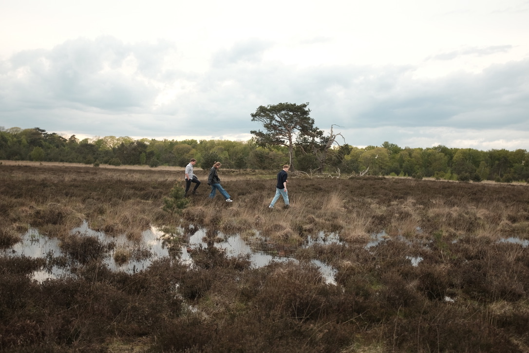
Picture of the youth committee of National Park Utrechtse Heuvelrug (NPUH)